Best Scenic Bike Trails in the Bay Area You Need to Try
The extensive network of Bay Area bike trails and bikeways offer stunning natural landscapes and make it easy to explore on two wheels.

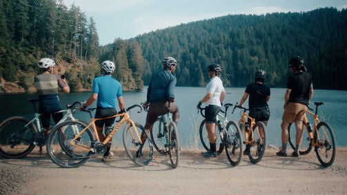
The San Francisco Bay Trail is the longest bike path in the Bay Area, with over 300 miles of trails. One of the most beautiful areas to bike through is the Napa Valley vineyards. For those seeking a challenge, the Mount Diablo Summit Loop might be the toughest mountain biking trail, while Berkeley’s Marin Avenue hill is the toughest paved route. The Sutter bike trail, on the other hand, is a flat, scenic route that is 10 miles out and back.
Best family rides in the Bay Area
There are plenty of family-friendly bike routes throughout the Bay Area, both paved and unpaved. Here are a few of our favorites. They’re perfect for hybrid bikes or electric bikes.
Family ride #1: Golden Gate Park
The tour at one glance
- Level: easy
- Path condition: mostly paved
- Starting point: Lincoln Way
- Highlights: Conservatory of Flowers, Japanese Tea Garden, de Young Museum
- Length of the route: 6.2 miles
- Altitude difference: 300 feet
- Travel time: 45 – 60 min
- Total distance: 6.2 miles
- Cycle path: 6.2 miles
View the tour
The Golden Gate Park Loop is an ideal option for families as it provides a safe and car-free cycling experience within the renowned park. Notable attractions along the route include the Conservatory of Flowers, Japanese Tea Garden, and Stow Lake. Families can relish the park's scenic beauty, explore various attractions, and enjoy quality time together in a family-friendly environment.

Family ride #2: Sawyer Camp Trail
The tour at one glance
- Level: intermediate
- Path condition: paved
- Starting point: Millbrae station
- Highlights: San Andreas Lake and Fault, Jepson Laurel
- Length of the route: 6 miles
- Altitude difference: 609 feet
- Travel time: 1.5 – 2 hours
- Total distance: 6 miles
- Cycle path: 6 miles
View the tour
The Sawyer Camp Trail is perfect for family rides due to its gentle terrain and beautiful surroundings. San Andreas Lake offers scenic views, while the San Andreas Fault and Jepson Laurel are notable highlights along the route. Enjoy a family-friendly cycling experience with these captivating attractions.
Family ride #3: Tilden Park - Nimitz Way
The tour at one glance
- Level: easy
- Path condition: paved
- Starting point: Inspiration Point parking lot
- Highlights: San Pablo Reservoir
- Length of the route: 3 miles (roundtrip)
- Altitude difference: 206 feet
- Travel time: 1 hour
- Total distance: 3 miles
- Cycle path: 3 miles
View the tour
Tilden Park has many unpaved trails, but for younger kids we recommend Nimitz Way. Highlights include the scenic San Pablo Reservoir, lush forests and abundant wildlife. It's a perfect opportunity for families to enjoy nature and have a fun cycling adventure together.
Family ride #4: Sutter Bike Trail
The tour at one glance
- Level: easy
- Path condition: paved
- Starting point: Tierra Buena
- Highlights: River views, Old Sacramento, Sutter Buttes
- Length of the route: 10 miles (roundtrip)
- Travel time: 1.5 – 2.5 hours
- Total distance: 10 miles
- Cycle path: 10 miles
- Secondary road: few sections
- Road: few sections
View the tour
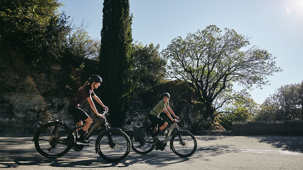
The Sutter Bike Trail is perfect for family rides, providing a safe and flat path along the scenic riverfront. Highlights include beautiful river views, picnic areas, and access to Old Sacramento. It's a fantastic choice for families to enjoy a leisurely bike ride and explore the charming surroundings. It follows an old railroad bed, starting in Tierra Buena and ending in Sutter. Enjoy a beautiful view of the Sutter Buttes on your ride.
Family ride #5: Contra Costa Canal Trail
The tour at one glance
- Level: easy
- Path condition: paved, well-maintained
- Starting point: Martinez
- Highlights: Scenic views, local parks
- Length of the route: 13.6 miles
- Altitude difference: mostly flat
- Travel time: 2 – 3 hours
- Total distance: 13.6 miles
- Cycle path: 13.6 miles
View the tour
The trail offers a flat and well-maintained path away from traffic. Highlights include scenic views of the canal, shaded sections, and access to local parks. It provides a safe and enjoyable cycling experience for all family members.
Best road rides around the Bay Area
The Bay Area has stunningly beautiful scenery that you can enjoy on a road bike. Here are four of our favorites.
Road ride #1: The Three Bears (Bear Creek Road)
The tour at one glance
- Level: moderate
- Path condition: paved
- Starting point: Orinda
- Highlights: Santa Cruz Mountains, redwood forests
- Length of the route: 18.8 miles
- Altitude difference: 2089 feet
- Travel time: 3 – 3.5 hours
- Total distance: 18.8 miles
- Road: 18.8 miles
View the tour
Bear Creek Road is an excellent choice for road cycling due to its scenic beauty and challenging terrain. Highlights include sweeping vistas of the Santa Cruz Mountains, winding roads through redwood forests, and exhilarating descents. Cyclists can enjoy a rewarding and picturesque ride on this popular road cycling route.
Road ride #2: Mount Diablo Summit via South Gate
The tour at one glance
- Level: challenging
- Path condition: paved, well-maintained
- Starting point: Danville
- Highlights: Panoramic views
- Length of the route: 20.4 miles
- Altitude difference: 3,146 feet
- Travel time: 3–4 hours
- Total distance: 20.4 miles
- Road: 20.4 miles
View the tour
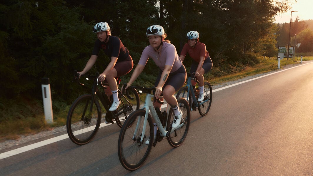
The route to Mount Diablo Summit via South Gate offers road cyclists a challenging and scenic journey. Highlights include the winding ascent up Mount Diablo Scenic Boulevard, stunning panoramic views from the summit, and the satisfaction of conquering the demanding elevation gain.
Road ride #3: Old La Honda Road Loop
The tour at one glance
- Level: intermediate
- Path condition: paved
- Starting point: Woodside
- Highlights: La Honda Road, beautiful scenery
- Length of the route: 19 mile
- Altitude difference: 1300 feet
- Travel time: 2–3 hours
- Total distance: 19 mile
- Secondary road: 19 mile
- Federal road: few sections
View the tour
The La Honda Road Loop is ideal for road cycling due to its picturesque scenery and challenging terrain. Highlights include winding roads through dense forests, rolling hills, and serene vistas. Cyclists can enjoy a mix of quiet country roads and stunning natural beauty along this popular cycling route.

Road ride #4: Alpine Dam Loop from Corte Madera
The tour at one glance
- Level: challenging
- Path condition: paved, well-maintained
- Starting point: Corte Madera
- Length of the route: 35 miles
- Altitude difference: 3,363 feet
- Travel time: 2.5 – 3.5 hours
- Total distance: 35 miles
- Secondary road: few sections
- Federal road: 10 miles
View the tour
The Alpine Dam Loop offers road cyclists a fantastic experience with its scenic beauty and challenging terrain. Highlights include riding along picturesque reservoirs, lush forests, and rolling hills. Cyclists enjoy a mix of peaceful country roads and the thrill of conquering the loop's elevation changes.
Best gravel rides of the Bay Area
Marin County and the rest of the Bay Area have some epic off-road trails for you to enjoy. Here are some of our favorites to check out on a gravel bike.
Gravel ride #1: Fairfax Bo Ridge Trail
The tour at one glance
- Level: intermediate
- Path condition: paved, dirt roads, fire roads
- Starting point: Sunshine Bikes, Fairfax
- Highlights: Gorgeous views, forested sections
- Length of the route: 40 miles
- Altitude difference: 1500 feet
- Travel time: 4 – 6 hours
- Total distance: 40 miles
- Federal road: few sections
View the tour
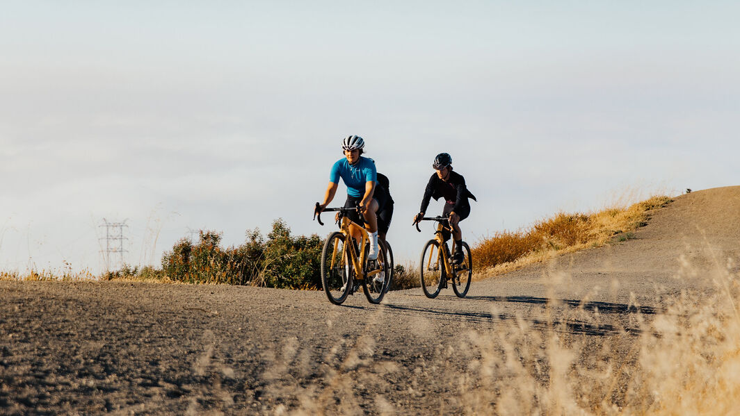
The Fairfax Bo Gravel Grinder route is perfect for gravel biking enthusiasts, offering a mix of scenic beauty and thrilling terrain. Highlights include picturesque gravel roads, challenging climbs, serene forest sections, and the chance to explore the captivating Fairfax area, making it an exciting and memorable gravel biking experience.
Gravel ride #2: Tennessee Valley to Muir Beach Loop
The tour at one glance
- Level: intermediate
- Path condition: paved roads, gravel paths, trails
- Starting point: Parking lot at the Miwok Trail trailhead
- Highlights: Muir Beach, gravel paths
- Length of the route: 12.5 miles
- Altitude difference: 900 feet
- Travel time: 1.5-2.5 hours
- Total distance: 12.5 miles
- Cycle path: 12.5 miles
- Secondary road: few sections
- Road: few sections
- Federal road: few sections
View the tour
The Tennessee Valley to Muir Beach loop is an excellent route for gravel biking, combining scenic coastal views and off-road adventure. Highlights include gravel paths, rugged coastal terrain, breathtaking ocean vistas, the charming Muir Beach community, and the sense of exploration along this picturesque and challenging loop.
Best mountain bike trails around the Bay Area
The Bay Area has some of the best mountain biking trails anywhere. Here are some of our favorite routes:
Mountain bike tour #1: Bayview Hill Loop
The tour at one glance
- Level: intermediate
- Path condition: paved, but pavement is broken and uneven
- Length of the route: 1 mile
- Altitude difference: 252.6 feet
- Travel time: 40 - 50 min
- Total distance: 1 mile
- Road: few sections
View the tour
Why it's good for mountain biking: Bayview Hill Loop offers a diverse mix of dirt trails and paved paths, perfect for mountain biking. Highlights include scenic bay views, a variety of terrain, and the chance to experience nature in an urban setting.
Mountain bike tour #2: China Camp State Park Loop
The tour at one glance
- Level: intermediate
- Path condition: well-maintained trail, also paved sections
- Starting point: San Venetia
- Highlights: San Pablo Bay, historic sites
- Length of the route: 8.5 miles
- Altitude difference: 750 feet
- Travel time: 1.5 – 2 hours
- Total distance: 8.5 miles
- Cycle path: primarily dirt trails and singletrack
View the tour
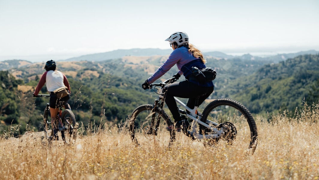
China Camp State Park Loop is good for mountain biking, since it offers a thrilling mountain biking experience with a variety of trail types, beautiful bay views, and a mix of challenging climbs and exciting descents. The park's historic sites add an extra dimension to the ride.
Mountain bike tour #3: Braille DH Trail
The tour at one glance
- Level: challenging
- Path condition: downhill singletrack with technical features, jumps, and berms
- Starting point: Near the Braille Trailhead in Santa Teresa County Park, San Jose
- Highlights: Steep descents, jumps, berms, adrenaline downhill ride
- Length of the route: 1.5 miles
- Altitude difference: 1000 feet
- Travel time: 15 min
- Total distance: 1.5 miles
- Cycle path: dedicated downhill mountain bike trail
View the tour
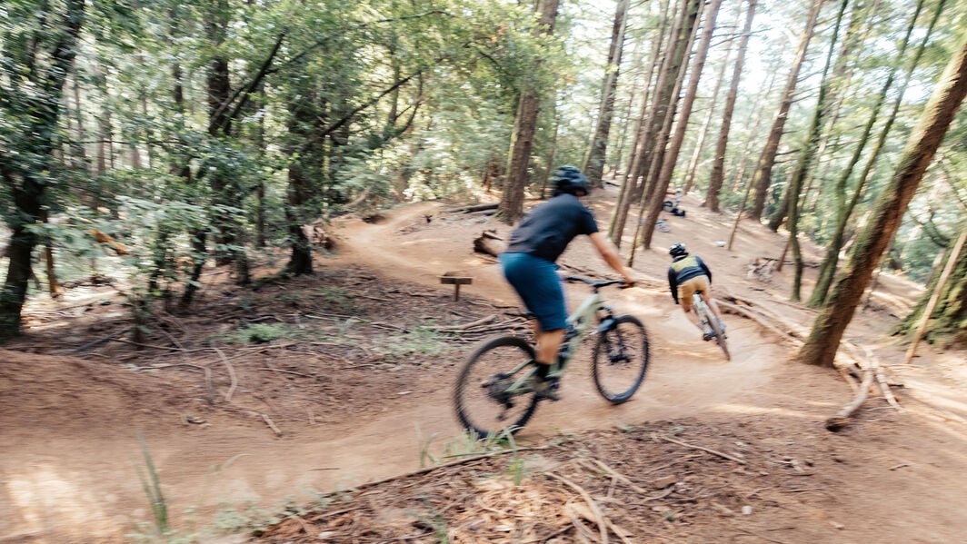
The Braille DH Trail is ideal for advanced mountain bikers seeking an exhilarating downhill experience. Its technical features, steep descents, jumps, and berms provide an adrenaline-fueled ride for those looking for a thrilling and challenging mountain biking adventure.
Bike Trails in the Bay Area: Find your next adventure!
The Bay Area has some incredibly varied terrain and beautiful, scenic rides. Whether you want to head out with the kids or you’re looking for an intense challenge, there’s something for everyone. Grab your bike and get on out there!
Did this article help?
Thank you for your feedback
